
Inside the workspace.
Dashboard
Headline figures, charts and a map of your farmers and their activity.
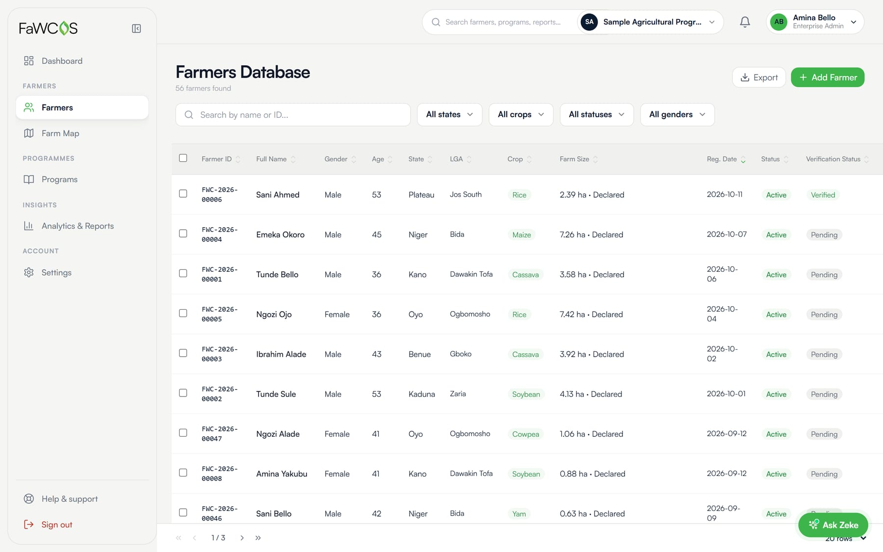
Farmers database
Searchable records linked to your organisation. Identity, Land and Activity levels are shown separately for each farm.
Farms map
Walked boundaries drawn from evidence. Points that have not been verified are marked as such.
Programmes
Create programmes, set who is eligible, and track enrolment and the intervention each farmer received.
Analytics and reports
Charts and a report builder. Save reports and export them as PDF, Excel or CSV.
People and roles
Admin, programme officer, data analyst and viewer roles. Invite colleagues by email; sign in with an authenticator app.
API keys
Programmatic access to your own organisation’s farmer records, with daily limits.
Zeke
Ask questions about your figures. Only approved aggregates reach Zeke: never names, phone numbers, ID numbers or individual records.
The farmers database, with levels shown for every farm.
Verified by people who do not work for you.
Field officers and supervisors are employed and managed by FaWCOS, not by customer organisations. They collect evidence on the farm and review what looks wrong.
That separation is what makes the record credible to a third party. An organisation sees verified levels for its farmers, but it cannot raise them. Levels come from evidence and rules, and only the FaWCOS review team can clear a flag.
Numbers you can put your name to.
Declared is not verified.
A farmer’s stated farm size is kept apart from the area measured on the ground, and small parcels show their uncertainty.
Empty stays empty.
If a figure is not available it says so. It is never shown as zero or as fine.
Nothing inferred.
Yield and carbon figures are not guessed from how many activities were logged.
Reporting that lines up with national and continental frameworks.
Evidence for your programme, tied to the standards governments and donors already use.
- Built Levels of assurance NIST SP 800-63 and eIDAS
- Built Land tenure FAO VGGT and ISO 19152
- In progress Continental agri-food targets CAADP Kampala Declaration
- Planned National farmer registry National Digital Farmers Registry
See it with your programme in mind.
Tell us about your programme and we will walk you through the workspace. Plans and pricing are agreed with you after the demo.